Moving on...
In our attempt to bypass Chicago, we passed roght through it during late rush hour. The main thing we were trying to avoid, was the Memorial bridge that cost us over $20.00 on our trip east. This we did. The route we took brought us up hwy 12 instead of I-94. This meant we entered Wisconsin about halfway west. Therefore, we missed Kenosha (home of the Cheese Castle) and Milwaukee.
What we did hit was a sleepy little town of 8000 people called Lake Geneva on the east side of Geneva Lake. A town that caters to lake and water activities, boating and fishing, etc. It was getting late and we just needed food and a place to park ourselves for the night. Stopped in a jumping little club full of younger people and loud music. sat near the front window at the curve of the bad and tried some craft beers and appetizers. A group of people came in and we found out that they were a large group doing their annual Tavern Crawl. It had started out with a few friends out on the town and had grown into an annual event. The group was about 30 people cruising from bar to bar in town. They were friendly and even gave Laurie one of their custom T-shirts. As we left, we couldn't help looking up a local geocache which turned out to be a ammo box on the front porch of a local store. Cute. We parked at the local Walmart and slept in the camper.
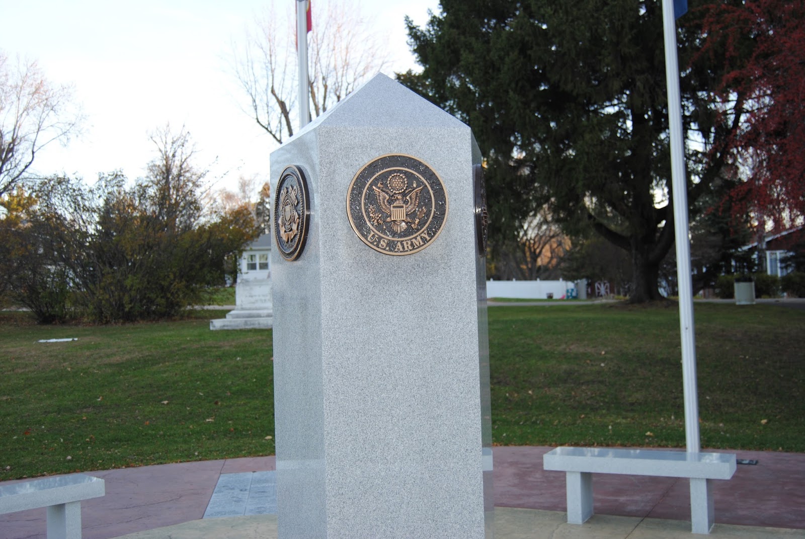
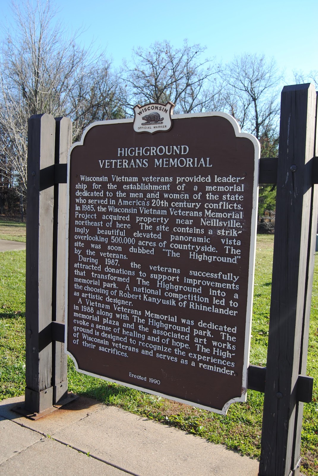
The next day, looking down the road for breakfast, we found a cache location in a small triangular park. It was a memorial park, so we wanted to check it out anyway. There are war memorials spread out across the park. Nice little park worthy of some photos. The geocaching was an intrigue. we were given partial GPS co-ordinates and had to visit many of the memorials to pull numbers off to complete the coordinates. Using that, we found a small container stuffed in a guard rail in the park. Researching, I found out and partially remembered The town is Fort Atkinson and the park is McCoy Park. http://www.dailyunion.com/news/article_f95077c8-dce1-11e2-a09c-001a4bcf6878.html
As we were cruising across the state, we had begun stopping at nearly every rest stop as most will have a cache. At one we had a real adventure. The description of the cache tells us there is a memorial for the branches of law enforcement in Wisconsin. Then it tells us to enjoy the scenic overlook trails just past the rest stop. The cache was in there somewhere. We would probably have driven right by this rest stop if the geocache hadn't been part of our travels. We crossed a back parking area, and across a small bridge into the woods. The path was paved, and at a fork, we had the option to walk down a long wooden bridge spanning a canyon area, or climb wood beam stairs set into the hillside. The cache was not supposed to be down the bridge. Up we went. Quite a climb with us laughing all the way. Eventually we were getting worn out from the climb and the path became one with the woods we had been walking through on one side, and a drop masked by trees on the other. Finally, we reached the top, and the path went a little further out. There was a small wooden fence across the trail, but it had been broken down. At the final end of the walk, there were a couple of large rocks and an overlook with a huge valley below. Spectacular! I had to walk alongside the fence through the wooded area on a slope to find the spot where the cache was. Once we had rested we walked back down, but decided, when we came to the wooden bridge to walk down it as well. It ended with a small patio with benches where you could look out at a good overlook as well.
From there, we crossed the rest of Wisconsin and into Minnesota after dark. We stopped in Alexandria for dinner and made our way home. We didn't find a cache in Minnesota, but since we were going to be in Fargo, It wouldn't be a problem.
Finally, we landed at Eliza's apartment. That felt good. An opportunity to finally see our daughter and our grandkids.
The next day, we drove the camper home to Petersburg, checked out the house and parked the camper. The next couple of days, we slept there, winterized the camper and the house. Then took both the truck and the Jeep to Fargo. I was supposed to stay there to help Eliza out for a bit while Laurie was to go to California, so I needed to have a vehicle in Fargo. We've picked up a few geocaches around the state from Petersburg to Fargo. Mostly, it's just too cold to do much of that.
A few events ahead before travel begins anew.
 |
| War Memorials at McCoy Park in Fort Atkinson, Wi |
Next, the rest stop and overlook trail
Rest stop 54 on I-94 Black River Falls
http://wisconsindot.gov/Pages/travel/road/rest-areas/54-black-river-falls.aspx
 |
| Law Enforcement Officer's tribute |
 |
| The Trail |
 |
| Near the top |
 |
| Mineral deposits growing under rocks |
 |
| Out to the end |
 |
| Geocache |
 |
| The end |
 |
| The view |
 |
| The fence |
 |
| Bridge |
 |
| Spectacular |